Viewpoint Trollhøe
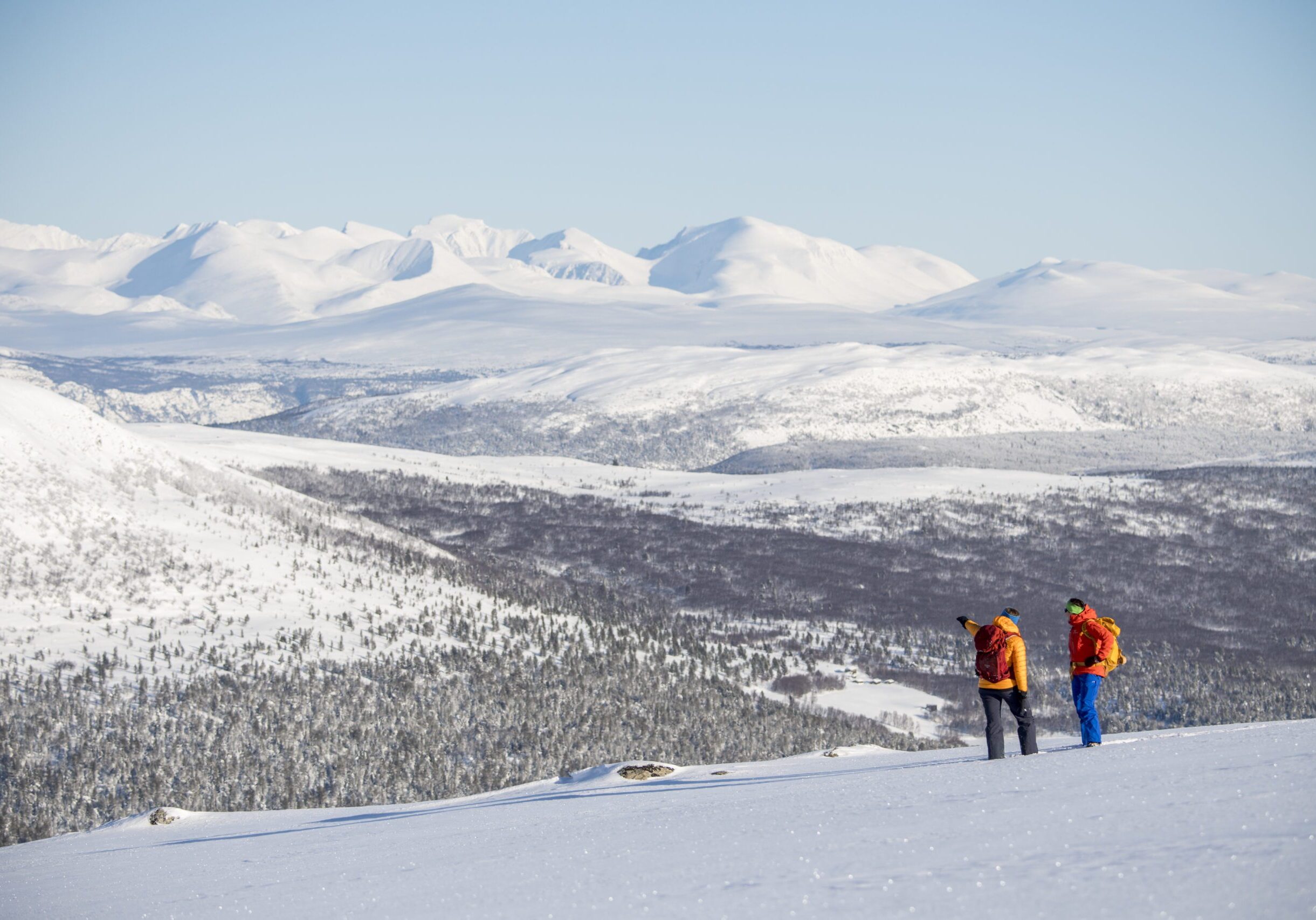
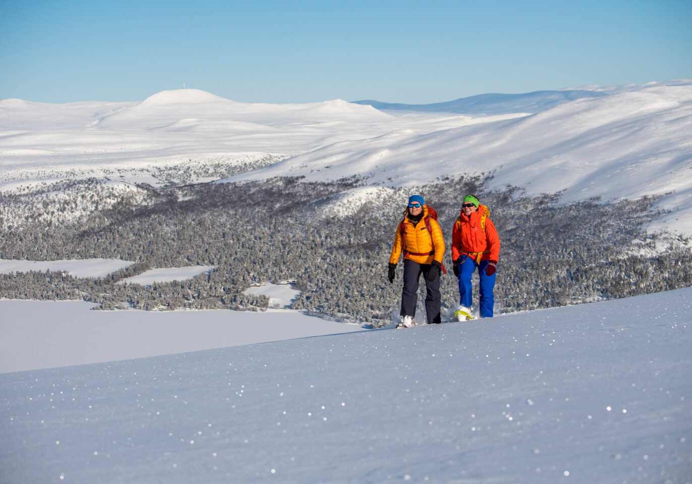
The view from the top is fantastic and encompasses three national parks; Jotunheimen in the west, Rondane in the east and Dovre in the north.
Viewpoint Trollhøe
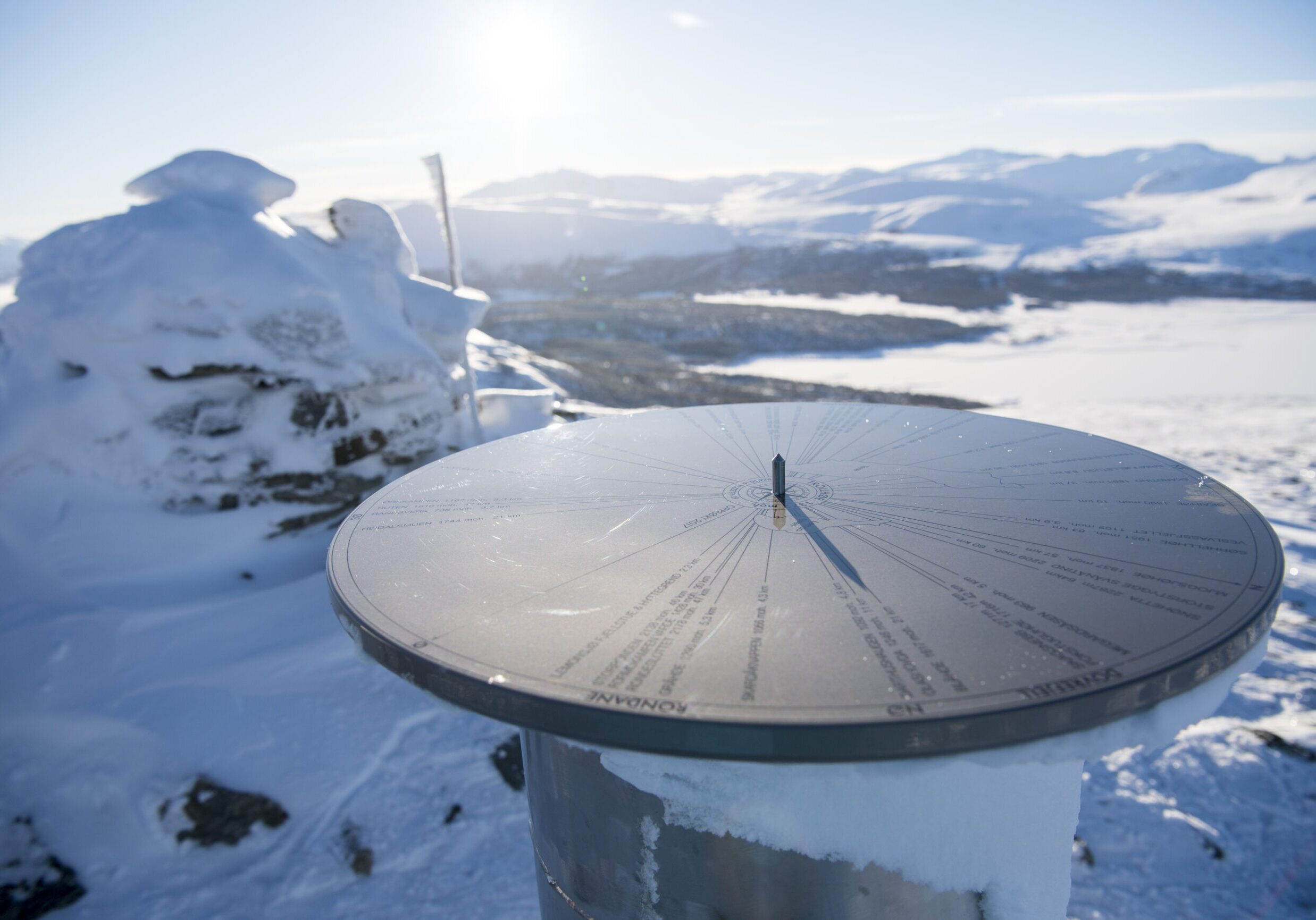
Trollhøe (1372 m) is an unknown gem located between the mountain lakes Tesse and Lemonsjøen in Vågå Municipality. The trip up is relatively easy, "suitable for everyone" and accessible in both summer and winter. At the top, you'll find a sighting disc with 39 points, including distance and altimeter. Place your face down against the disc, "aim" from the desired point using the directional tip in the middle. The view from the top is fantastic and encompasses 3 national parks; Jotunheimen in the west, Rondane in the east and Dovre to the north!
Tour description
In summer, the route starting at Lemonsjø Fjellstue & Hyttegrend (863 m.a.s.l.) is the quickest access. The trail crosses over to Kalven Seter before continuing up the hillside towards Geithøe. Here there are 20-30 minutes of steep climbing where the blood pump really gets going. A breathtaking view reveals itself and provides the impetus to climb the steep slope between occasional pauses for breath. From Geithøe, the trail turns gently along the mountain ridge towards the stream where you meet Kalvbekken and the trail from Randsverk. After strolling through the gorge and across the gentle plains, you'll see Tesse and towering rock formations in the background. The trail then takes the turn up the last, slightly steep section towards the top. Today, a large cairn marks the summit where the view on clear days is formidable. The path up is now well marked, distinctive and easy to find.
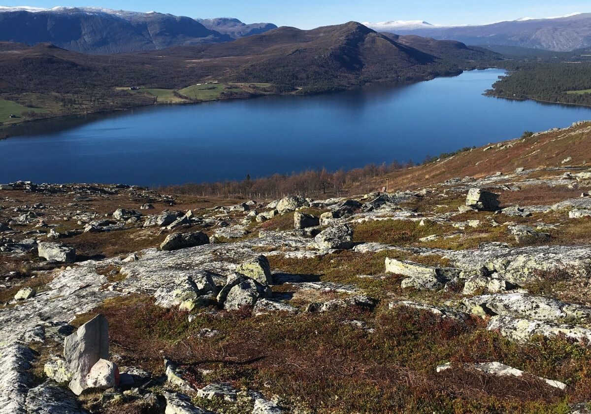
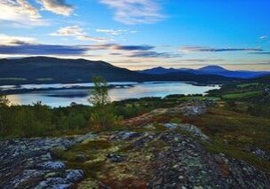
From Trollhøe there are several ways to descend - back to Lemonsjøen, down to Randsverk or via Hesthaugtjern. Hesthaugtjern is about a 20-minute walk from the top, clearly visible all the way with Lemonsjøen to the east and Tesse to the west. The tour descends over the moss-covered mountainside where the "feeling of flying" can come. At Hesthaugtjern, follow the trail down to Valdeseter and back to Lemonsjøen through a lush, vibrant cultural landscape. Randsverkruta runs through Kalvdalen, past Pina and down to Campingen. Well marked trail.
In winter, the trip to Trollhøe is possible on regular cross-country skis, via Hesthaugtjern (partially prepared trail) or via the ski lift, which makes the trip extra accessible. The tour is also perfect for testing Randonee equipment. Possibly with snowshoes! Have a good trip!
Detailed tour descriptions and maps can also be found on the tour website UT.no. Find the link here, opens in a new tab.
Have a good trip!
Good to know:
- Trollhøe (1372 m)
- Sighting disc with 39 points
- Views of Jotunheimen, Rondane and Dovre national parks
- Year-round tour
- Walking distance from Lemonsjø Fjellstue & Hyttegrend
- 500 vertical meters, 7 km. Approx. 3 hours
Thanks to:
Bakke Stålprodukter v/ Øystein Bakke
MD Design v/Merethe Dagsgard
Jotunheimen Glacier and Mountain Management by Morten Skjellen-Larsen
Statens Kartverk v/ Trond Espelund
Lemonsjøen Alpinsenter v/ Kjetil Villa
Realized with financing from
Savings Bank Foundation DNB
Vågå Municipality
Do you remember the view from Trollhø that morning, when the white cloud drifted between the Nautgard peaks and the glacier in front of Glittertinden shone like gold in the sunlight? I can't believe I'm not going there this summer! But, now that I've been put in the coffin, my spirit will go home up here at Trollhø. And then I'll sit here and look out over Norway and the mountain radars will rise up...
Adapted from Aasmund Olavsson Vinje on his deathbed 1870
