Doorstep tours
The mountain peaks Trollhøe, Gråhø, Veslevassfjellet and Ørnkampen offer fantastic views of Jotunheimen, Rondane National Park and...
In the surrounding area you will find hiking trails with opportunities for great walks. The Lemonsjøen/Randsverk area and Jotunheimen National Park invite you to go hiking and mountain hiking in unique, beautiful nature. In the surrounding area you will find hiking trails with opportunities for great walks. The mountain peaks Trollhø, Gråhø, Veslevassfjellet and Ørnkampen offer fantastic views of Jotunheimen and Rondane National Park. The Lemonsjøen/Randsverk area is a central starting point when visiting famous mountain peaks such as Besseggen, Glittertind or Galdhøpiggen. But don't forget the many other great hikes - Jotunheimen offers an unparalleled range - from idyllic forest landscapes to large glaciers with deep crevasses and almost three hundred mountain peaks over 2000 meters. We are happy to help with planning and more information.
Trip to Gråhøe - be on the lookout for Lemonsjøtroll!
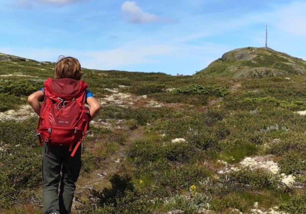
Gråhøe (1290 meters above sea level) is located between Lemonsjøen and Flatningen/Melingen and offers great views of Jotunheimen, Heidalsmuen and Feforkampen, not to mention Rondane and Dovrefjell. The tour passes through charming old mountain forest before continuing up onto the bare mountain.
Tour description:
From Lemonsjø: Follow the marked and signposted trail starting on the east side of Fjellstua. Take the detour around Slomba for a round trip.
From Randsverk: Follow the marked trail to Lemonsjø Fjellstue etc.
The hike is easy and marked/signposted all the way to the top.
Length: approx. 4.5 km (from Lemonsjø Fjellstue and Hyttegrend), Time: approx. 2 hours, Height difference: approx. 430 meters
Trip to Veslvassfjellet
Veslvassfjellet (1130 meters above sea level) stretches from Valdesetrene by Lemonsjøen towards Tesseosen. The hike is easy to walk and offers great views of Tesse and Kvitingskjølen, towards Glittertind/Veodalen and Jotunheimen. On the other side you have Rondane and Dovrefjell. Once you've climbed up from Valdesetrene, the hike takes you through rolling countryside before sloping down towards Tesse/Tesseosen. You can walk back and forth or have someone pick you up at Tesseosen.
Tour description:
The tour starts at Kalven seter with a marked and signposted path on top of the fence. The path merges with the mountain farm road up to the third mountain farm where the journey continues, sharply to the left, on a well-signposted path over the mountain ridge.
The hike is easy and marked/signposted all the way to the top.
Length: approx. 10 km, Time: approx. 4 - 5 hours Height difference: approx. 320 meters
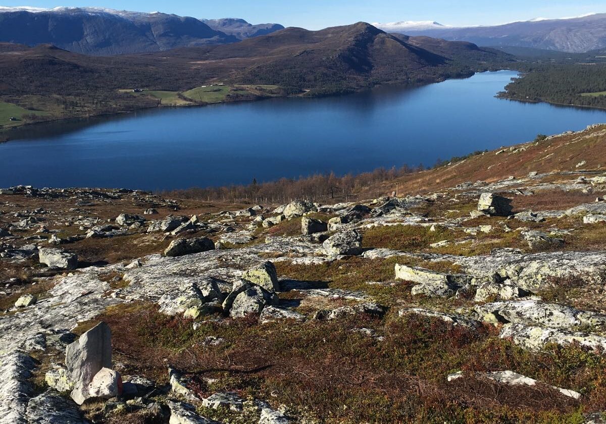
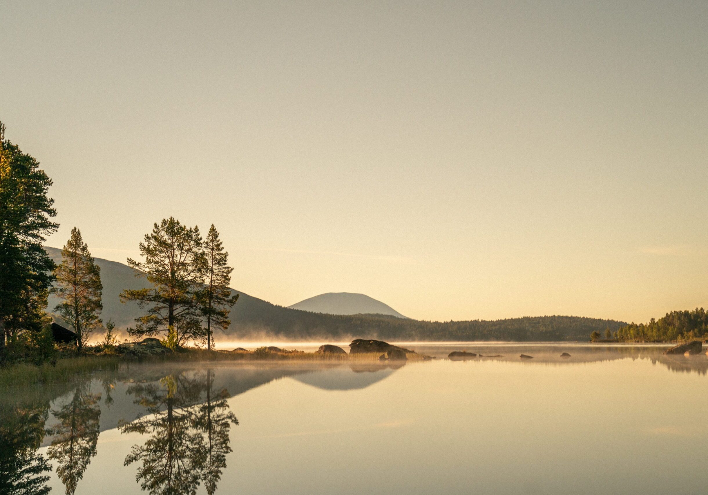
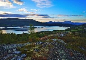
Viewpoint Trollhøe
The view from the top is fantastic and encompasses three national parks; Jotunheimen in the west, Rondane in the east and Dovre in the north. Read more...
All tour descriptions and maps are available at Lemonsjø Fjellstue and Randsverk Camping.
Equipment....No matter the season, traveling in the mountains requires good clothing. Windproof, wool and a backpack are essential for short and long trips.
Fjellvettrereglerene mm (external link)
Trip to Ørnkampen / Rindhovda
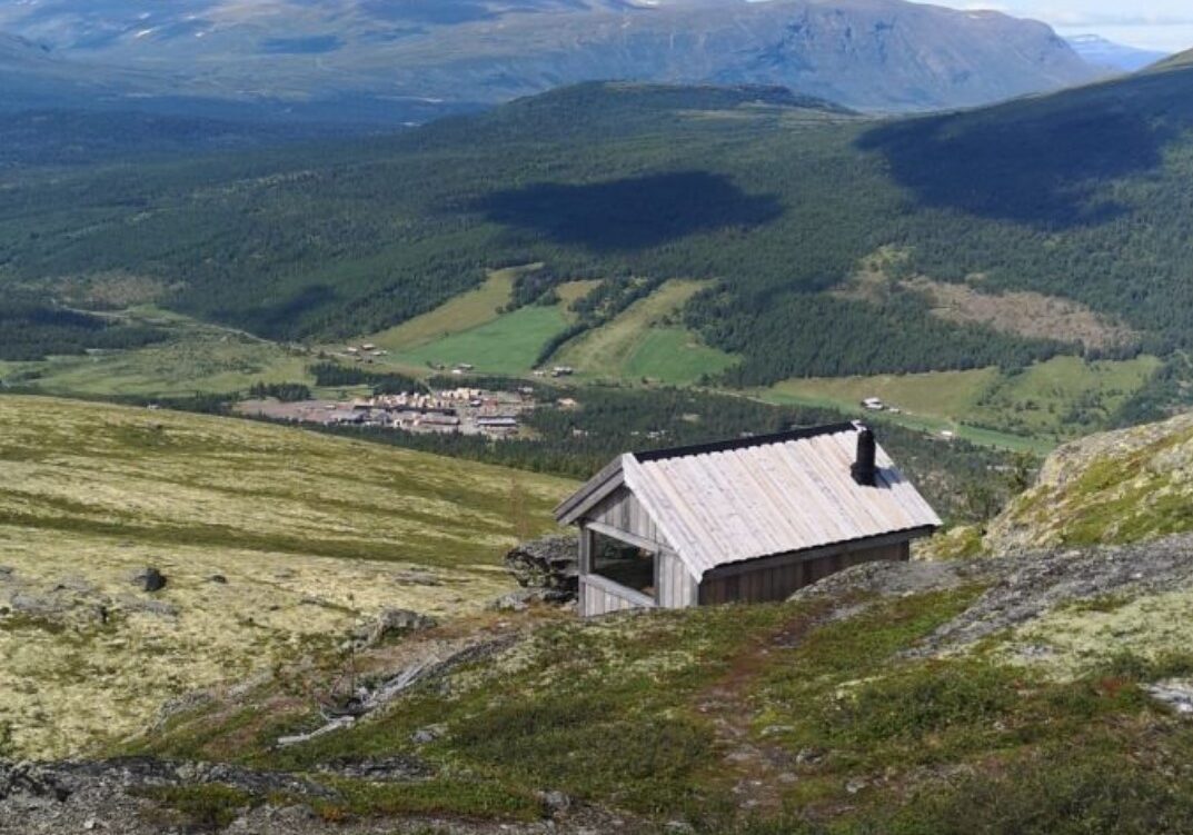
Ørnkampen (1162 meters above sea level) is the highest point in the Rindhovda area. From the top there are great views towards Heidalsmuen, Rondane and Jotunheimen. Visit the newly restored Fire Watch Cabin at the top for an extra dimension to the tour!
Tour description:
From the campsite at Randsverk, follow national road 51 about 200 meters south, turn left, over the bridge, through the residential area and onto the marked trail to the top. From Lemonsjø: Follow the marked and signposted trail to Randsverk Camping. Then follow the description above.
The hike is easy and marked/signposted all the way to the top.
Length: approx. 4 km, Time: approx. 2 hours Height difference: approx. 300 meters
#brannvakthyttarindhovda
